Your Premier Geo Survey Partner in Indonesia & SEA

We deliver integrated geological, geophysical, and topographic survey solutions through advanced technology, precise data interpretation, and industry-leading magnetic survey acquisition across Indonesia and Southeast Asia, enabling confident decisions at every stage of your exploration project.
Your Premier Geo Survey Partner in Indonesia & SEA

We deliver integrated geological, geophysical, and topographic survey solutions through advanced technology, precise data interpretation, and industry-leading magnetic survey acquisition across Indonesia and Southeast Asia, enabling confident decisions at every stage of your exploration project.
Service Categories | Our Core Capabilities​

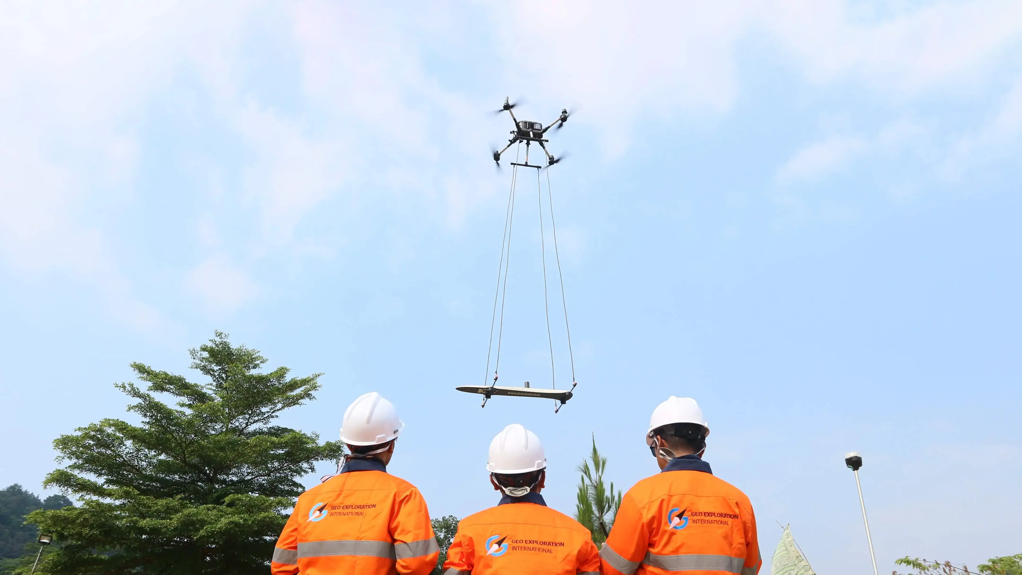
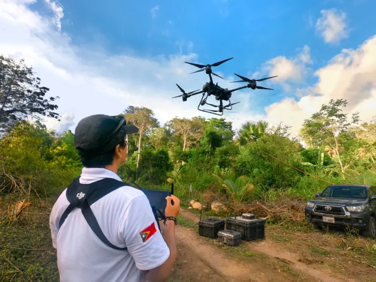
Drone pilot launching quadcopter in the jungle for survey.

Topographic Services​​

Accurate terrain mapping using GNSS, LiDAR, photogrammetry, UAV drones, and VTOL platforms across large or remote areas.

Service Geophysical

Geophysical Services

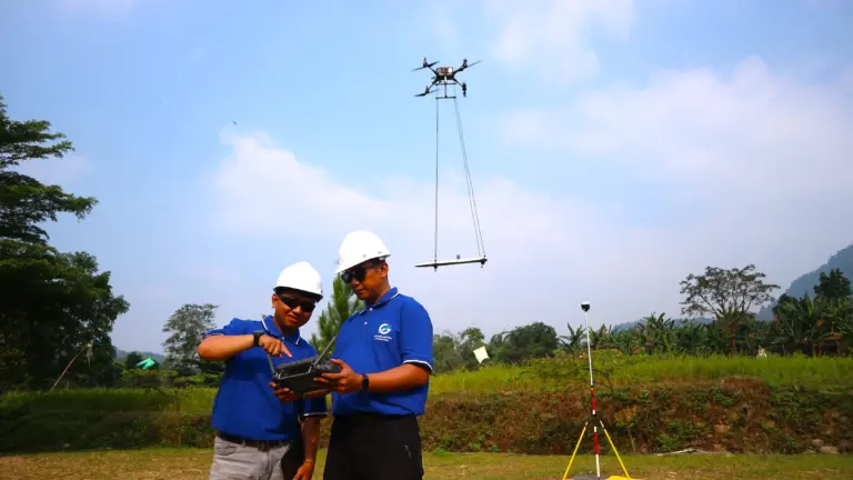
Integrated subsurface surveys using magnetic, radiometric, ERT, IP, HVSR, GPR, and MT methods for exploration and site assessment.

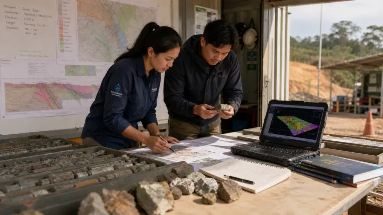
Two Indonesian geologists analyzing drill hole cores and survey data.

Geological Services

Mapping, structural analysis, mineral targeting, and resource estimation to assess project potential and support decision-making.

Clients that Trust Us

Project Types | Sectors We Serve

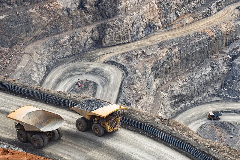
Mining & Exploration

Support for mineral exploration and mining projects through terrain mapping, subsurface investigation, and geological data collection.

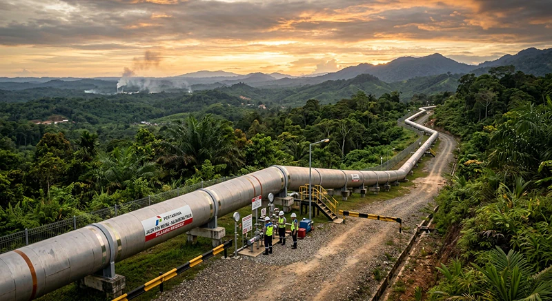
Oil Pipeline through the jungle of Indonesia

Oil & Gas

Technical survey and subsurface support for oil and gas projects, including exploration, infrastructure planning, and field development.

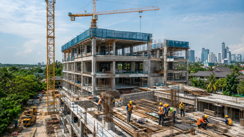
Construction

Survey and geoscience support for roads, buildings, industrial sites, civil construction, and infrastructure projects requiring reliable ground data.

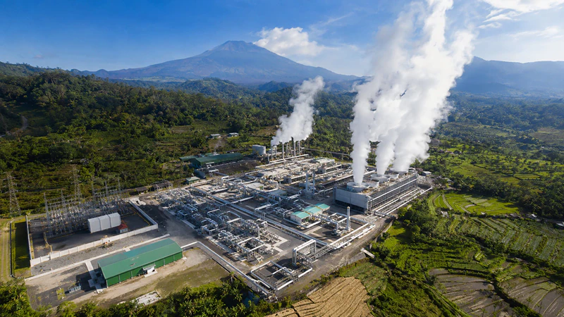
Geothermal Power Plant in Indonesia.

Geothermal Energy

Exploration and site investigation support for geothermal projects through geological, geophysical, and surface data assessment.

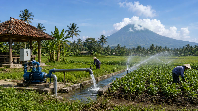
A field in Indonesia with ground water well, aquafiers, field workers.

Hydrogeology

Groundwater and water resource investigation support for wells, aquifers, water supply planning, and hydrogeological studies.

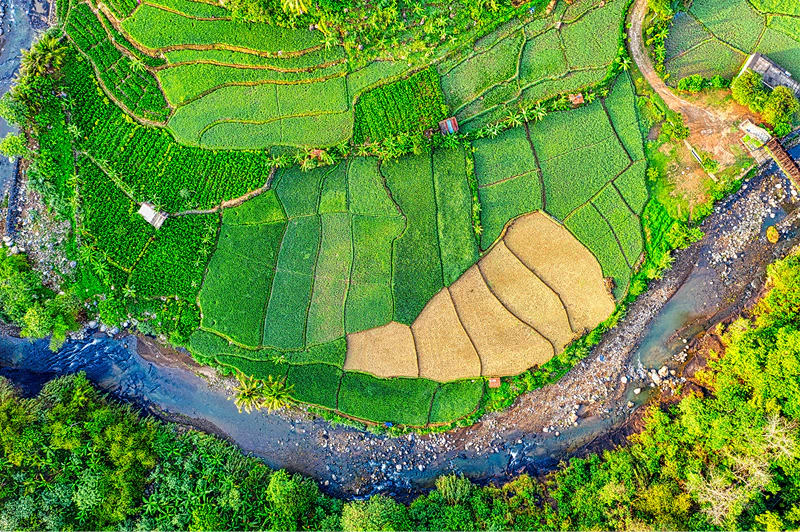
A creek in Indonesian Fields, top down view taken from a drone.

Environmental

Site investigation and technical data support for environmental assessment, engineering planning, and ground condition evaluation.