Topographic Services
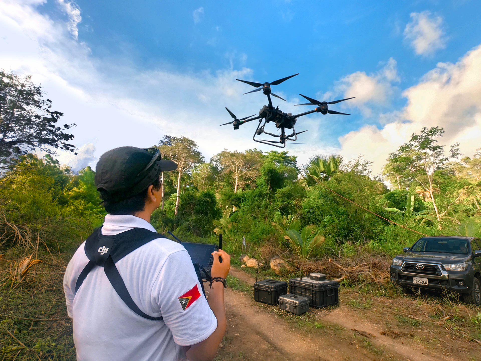
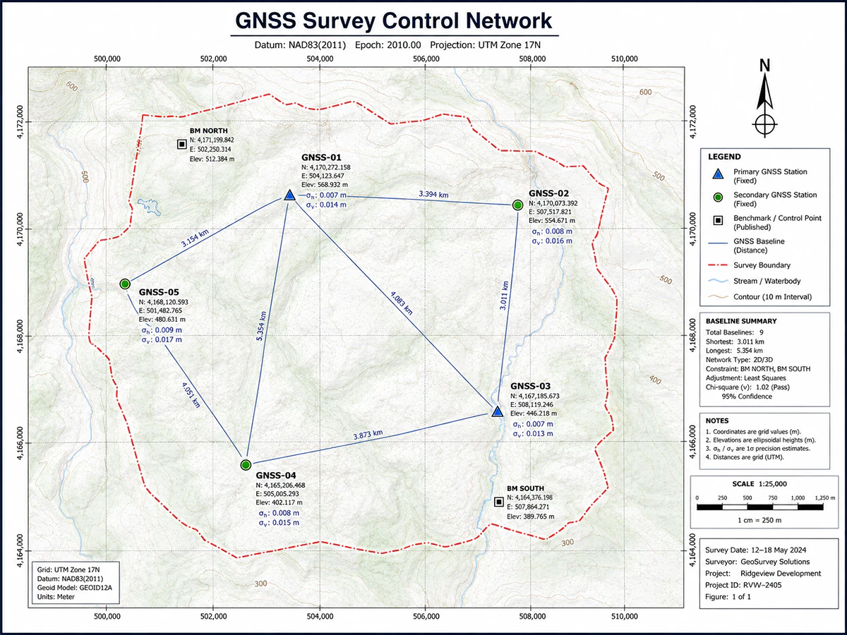
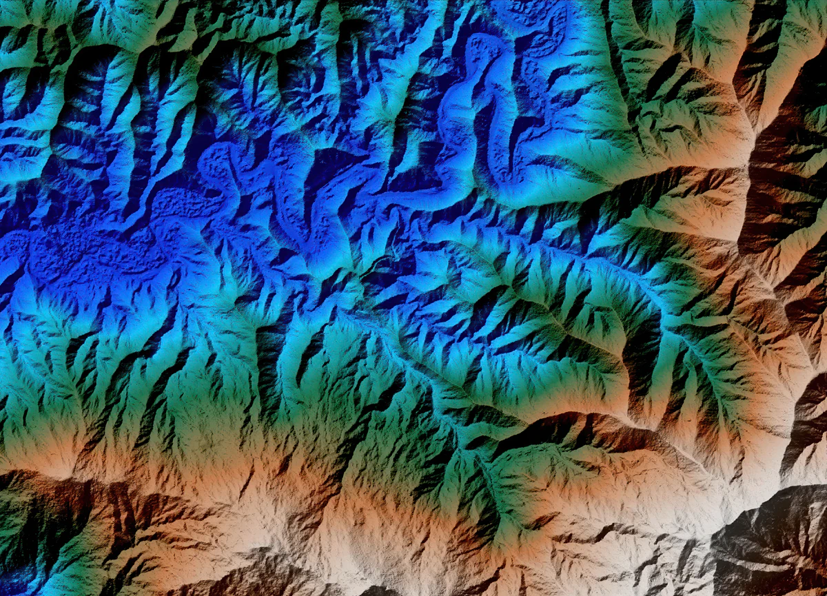
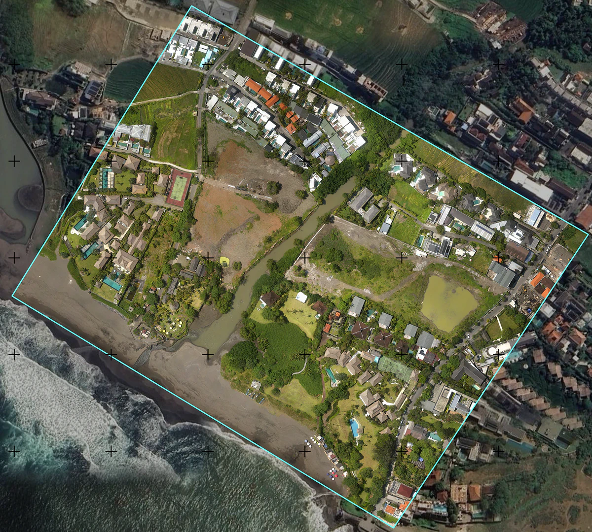
We provide high-precision topographic surveys supported by both UAV drones and VTOL platforms. This allows efficient data acquisition across large and remote areas, delivering reliable outputs such as orthophotos, classified point cloud, terrain models, and contour data.