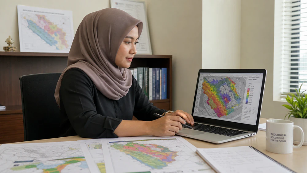
From field planning to final reporting, we provide technical survey services that help you understand site conditions, reduce uncertainty, and move projects forward with clearer data.
From field planning to final reporting, we provide technical survey services that help you understand site conditions, reduce uncertainty, and move projects forward with clearer data.
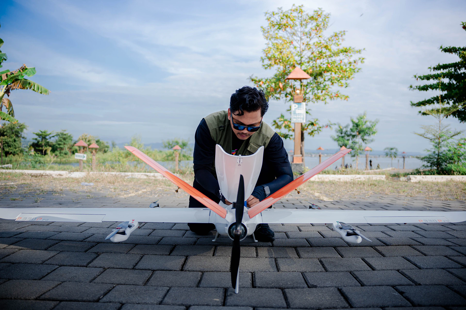
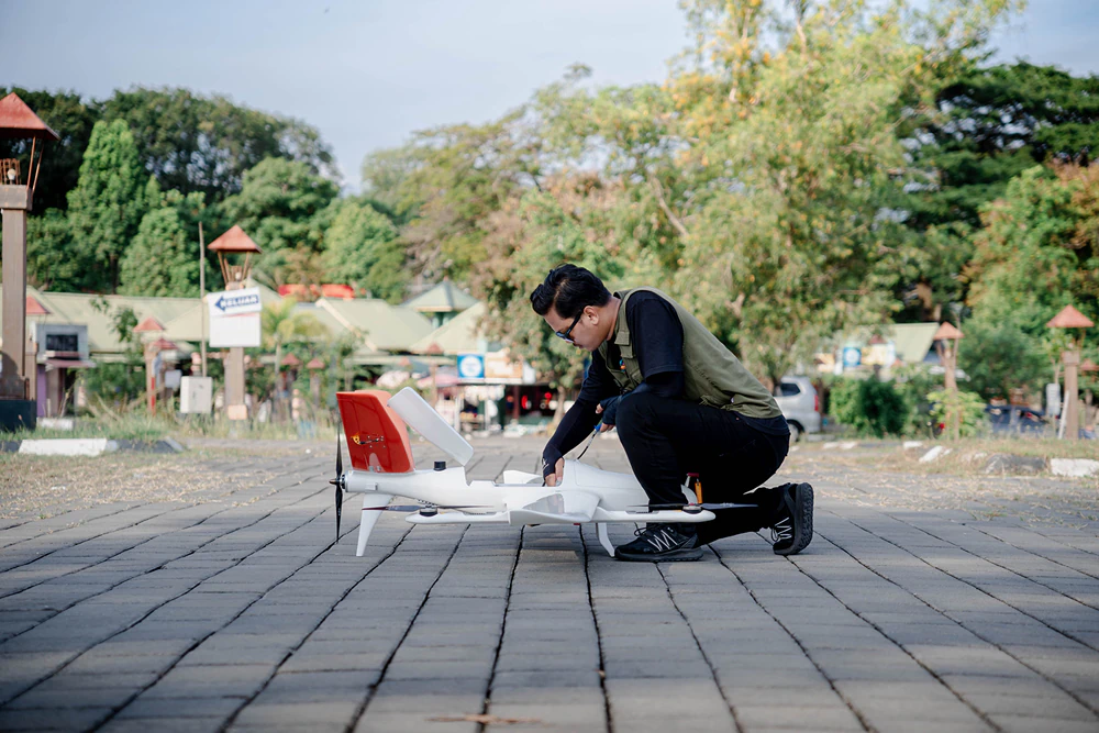
We provide high-precision topographic surveys supported by VTOL and multi-rotor drones. This enables efficient data acquisition across large, remote, or difficult-to-access areas, delivering reliable outputs such as orthophotos, classified point clouds, terrain models, and contour data.
Through integrated data acquisition and interpretation we deliver reliable insights that support exploration planning, site investigation, and decision-making. This helps you understand subsurface conditions, reduce exploration uncertainty, and identify potential resource targets.
We support exploration and resource development projects by integrating field observations, survey data, and geological modelling to evaluate project potential and guide technically informed decisions.
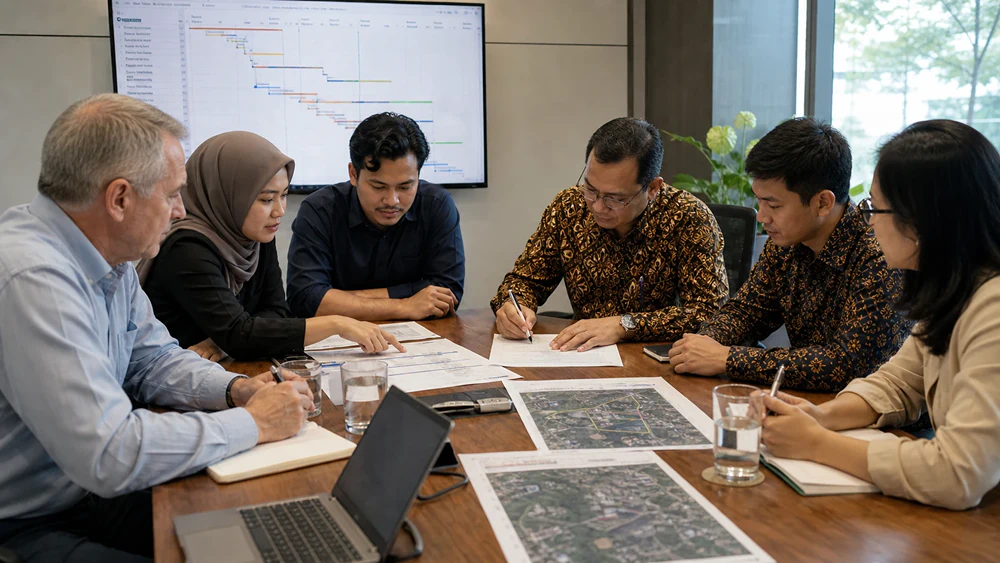
As part of the process, we meet with your team to discuss the project and its objectives. We then generate a project plan and critical path, which are agreed with you and signed off.
Project Preparation
Prior to mobilization, all necessary clearances are obtained. Once on site, a risk assessment is performed, and camp locations, transportation, and communication channels are established.
Survey Execution
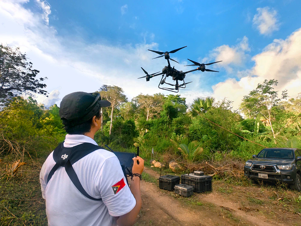
A preliminary survey of the area helps us understand the terrain and plan the survey execution to ensure optimal results. During execution, all data is consistently checked for quality, while safety remains our priority.
Processing & Analysis
Our experienced analysts carefully validate, process, analyze, interpret, and present the acquired data in clear, holistic, and transparent reports that are easy to understand, so you can confidently make the right decisions.