Geophysical Services

We deliver accurate data to map subsurface structures, identify potential resources, and support informed decision-making. Through integrated methods, use of latest technology, and a data-driven approach, we ensure reliable results that enhance efficiency, minimize risk, and meet industry standards.
Service Geophysical

Geophysical Services

We deliver accurate data to map subsurface structures, identify potential resources, and support informed decision-making. Through integrated methods, use of latest technology, and a data-driven approach, we ensure reliable results that enhance efficiency, minimize risk, and meet industry standards.
Our Geophysical Surveys

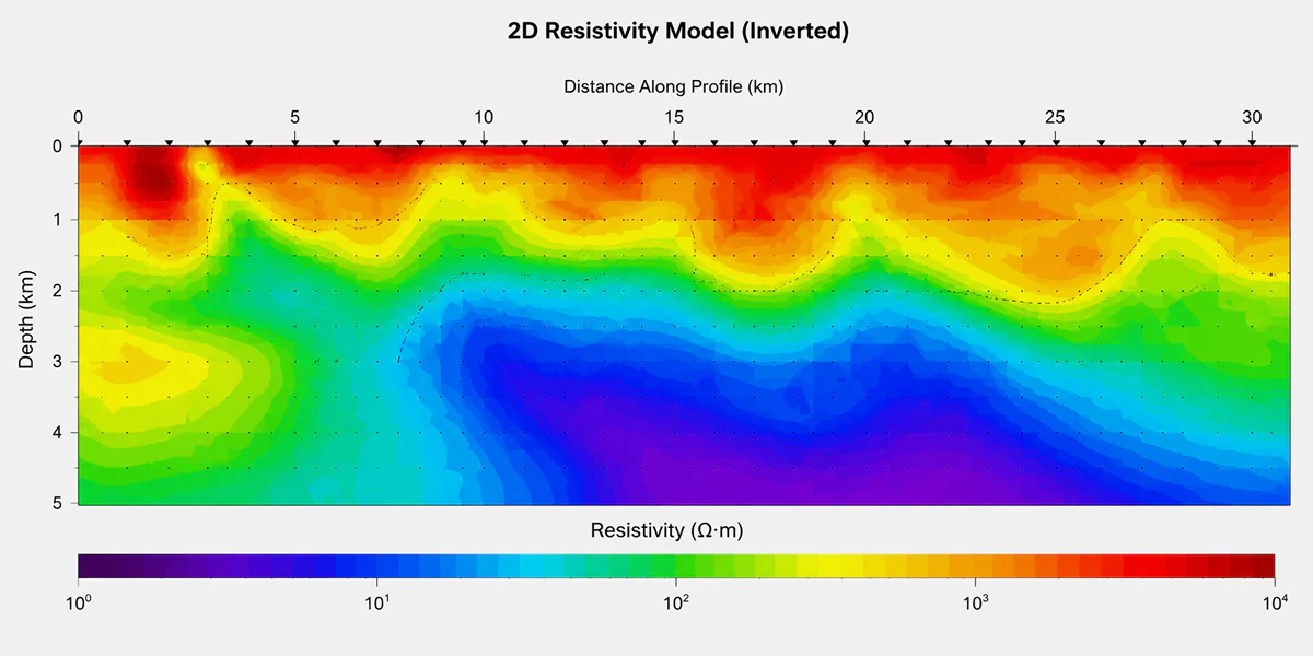
Mobile Magnetotelluric Survey

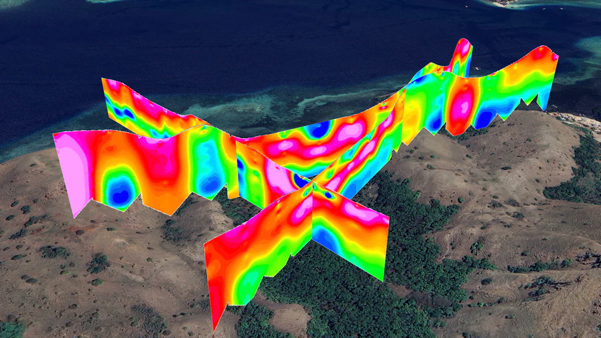
Mobile Magnetotelluric Survey maps deep subsurface resistivity structures to support mineral exploration, geothermal assessment, groundwater investigation, and regional geological interpretation. MT data helps identify conductive and resistive zones, fault systems, alteration patterns, and deeper exploration targets across complex terrain.

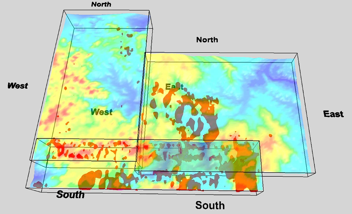
UAV High-Resolution Magnetic Survey

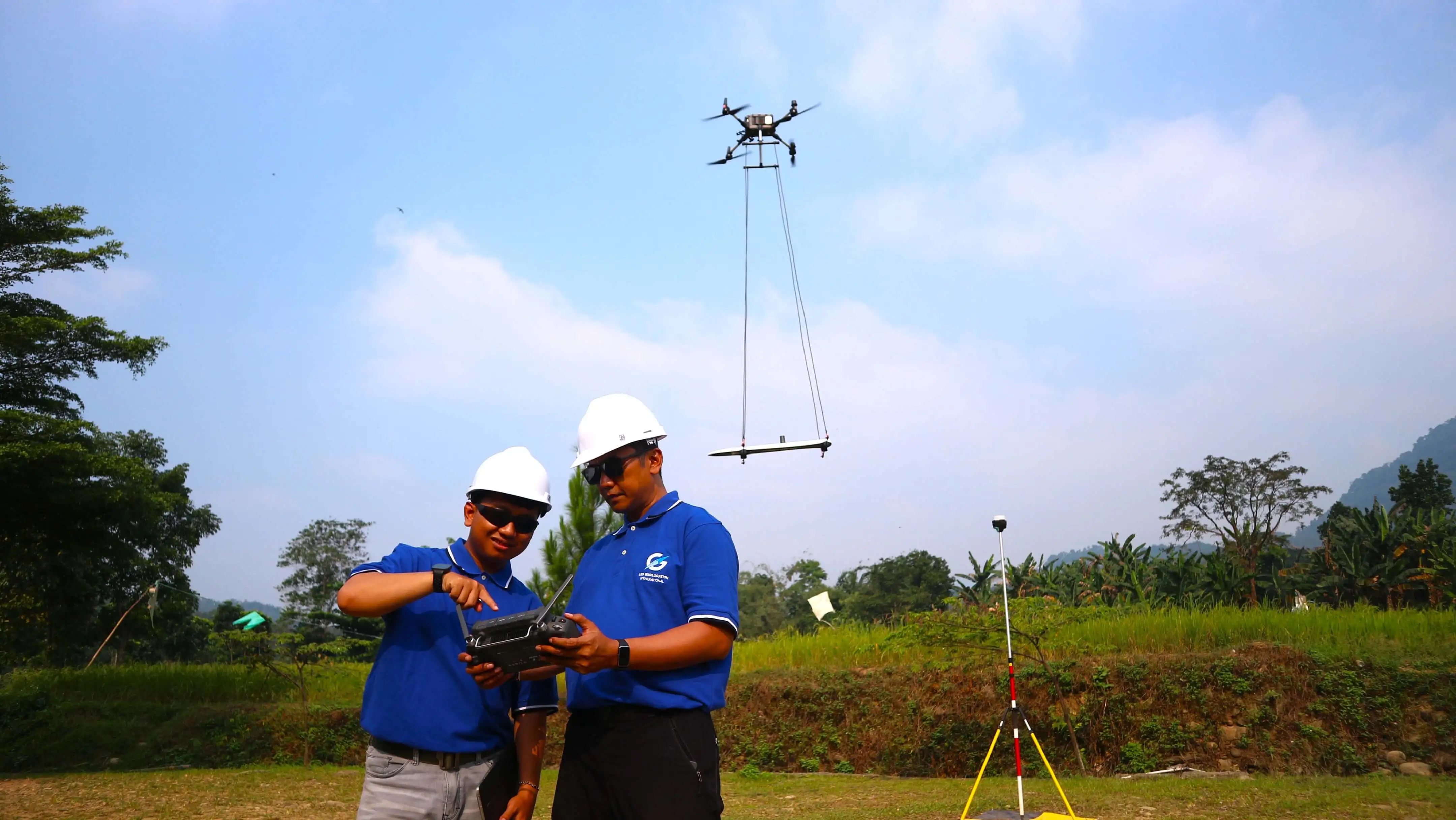
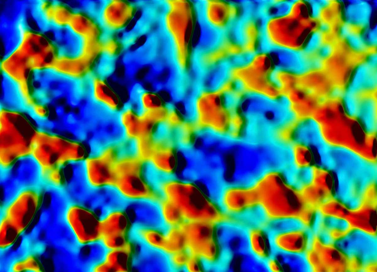
UAV High-Resolution Magnetic Survey captures detailed magnetic data from the air to map geological structures, lithological boundaries, faults, intrusions, and potential mineralization zones. Using drone-based magnetic acquisition enables efficient coverage of large, remote, or difficult-access areas with high spatial resolution.

Passive Seismic HVSR Survey

Passive Seismic HVSR Survey uses natural ground vibrations to estimate subsurface layering, sediment thickness, bedrock depth, and site response characteristics. This non-invasive geophysical method supports geological, engineering, groundwater, geothermal, and infrastructure investigations without requiring active seismic sources.

Deep Induced Polarization Survey

Deep Induced Polarization Survey measures subsurface chargeability and resistivity to detect anomalies associated with disseminated sulfides, mineralization zones, alteration systems, and deep exploration targets. Deep IP is commonly used in mineral exploration to improve target definition and reduce drilling uncertainty.

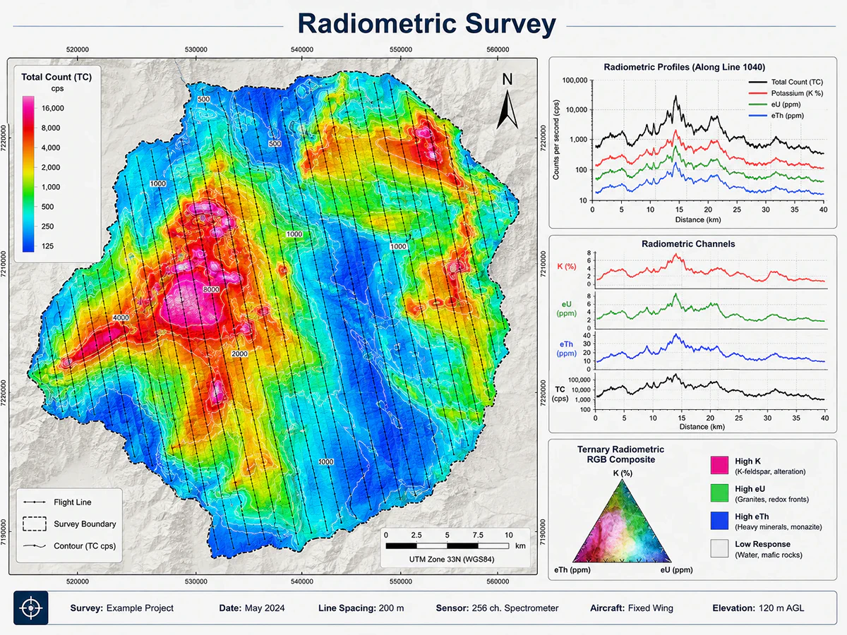
Radiometric Survey

Radiometric Survey measures natural gamma radiation from potassium, uranium, and thorium to support lithological mapping, alteration detection, surface geochemistry interpretation, and mineral exploration analysis. Radiometric data helps identify geological variations, weathering patterns, and potential exploration indicators across target areas.

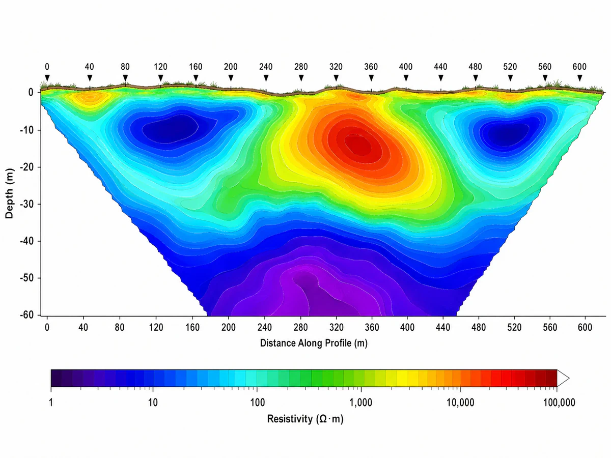
Electrical Resistivity Tomography Survey

Electrical Resistivity Tomography Survey images near-surface resistivity variations to investigate groundwater potential, aquifer conditions, cavities, faults, weathering zones, contamination pathways, and geotechnical ground conditions. ERT provides clear subsurface models for environmental, engineering, hydrogeological, and exploration projects.